Google Maps works differently in Japan for one structural reason: Japan has almost no street names, so addresses are built from district and block numbers instead, and Google geocodes those addresses to the middle of a block rather than to a door. On top of that, the map data splits in two. Japan’s rail operators publish precise timetable, platform and carriage data that Google integrates well, which makes train directions unusually accurate. Residential walking data and small-town points of interest are thinner, so the same app that guides you perfectly onto a platform will drop a walking pin in the wrong spot on a residential street.
Neither half means Google Maps is broken in Japan. It means the app is built for a country whose addresses, roads and sign conventions were designed without the assumptions it was originally made for. Long-stay residents describe it as working “well enough” in Tokyo, Kyoto and Osaka, and getting spotty outside them.
Table of Contents
- 1Why Google Maps Uses a Different Address System in Japan
- 2How a Japanese address is built
- 3Why the pin lands in the middle of a block instead of a doorway
- 4How Language and Local Search Terms Change Results
- 5How language differences make Google Maps searches behave oddly in Japan
- 6Why Transit and Walking Directions Are Especially Detailed in Japan
- 7Where the transit detail comes from
- 8Why the walking half is thinner
- 9What Japan-Specific Map Symbols and Labels Mean
- 10How Business Information and Reviews May Differ
- 11How to Use Google Maps More Effectively in Japan
- 12Search in Japanese, not English
- 13Ask your hotel for the geolocation address
- 14Save destinations before you travel
- 15Confirm the station exit, not the station
- 16Download offline maps for the regions you will lose signal in
- 17Use a second app for the parts Google is weak at
- 18Verify anything time-sensitive locally
- 19Frequently Asked Questions
- 20Why does Google Maps use block and house numbers in Japan?
- 21Can I use Google Maps in English when traveling in Japan?
- 22Why are Japanese transit directions so detailed?
- 23How do I find the correct station exit in Google Maps?
- 24Should I rely on Google Maps for opening hours and business details in Japan?
- 25Can Google Maps work offline in Japan?
- 26Conclusion
Why Google Maps Uses a Different Address System in Japan
Japan’s national addressing scheme has no street component. You get a prefecture, a city or ward, a district, a numbered block subdivision, a block number, and a building number. The last two are the part that trips up visitors.
How a Japanese address is built
The hierarchy runs from large to small, and each level narrows the search area rather than naming a road. A typical address looks something like: ward and district, then chōme, then block number, then building number.
- Chōme (丁目) is the district subdivision, written with kanji and a number. It is roughly a neighborhood.
- Ban / banchi (番地) is the number of the block inside that chōme.
- Gō (号) is the building or lot number within the block.
- Plus code is the short alphanumeric location code a business will give you when the written address is not enough.
Buildings are also numbered by order of construction inside a block, not by their position along a street. So the number tells you very little about where the door faces.
Google Business Profile is the other term worth knowing. Hours, photos and phone numbers for a shop come from a listing the owner or a guest editor can edit, which matters for the section on business details later.
Why the pin lands in the middle of a block instead of a doorway
Given a chōme and banchi with no street to anchor to, the only defensible point to place a marker is the centroid of that block. That is what you see: a confident blue dot in the middle of a residential block, with no indication of which side of the building to face. Users on r/travel and in the Japan travel Facebook groups describe exactly this behaviour, and it is the single most repeated complaint about the app in the country.
One traveler put it plainly on Facebook: they wanted to see street names for all the streets in the country. There are none to show. Another commenter said Google Maps struggled with tall buildings while walking but was great for train navigation. Both observations are the same mechanism seen from two sides.
Dense Tokyo blocks make it worse. GPS drifts between tall buildings, and a block centroid that was close enough in a low-rise neighborhood can be a long, confusing walk from the actual entrance in Shinjuku or Shibuya.
How Language and Local Search Terms Change Results
Google Maps Japan indexes Japanese-language place names first. Search in English and you are relying on whatever romanization the listing happens to use, which is inconsistent across sources.
How language differences make Google Maps searches behave oddly in Japan
A single station can appear as Shibuya, Shibuya Station, Shibuya-ekimae, or a Japanese string, depending on which listing or data source the result came from. Pick the wrong one and the app may route you to a bus stop or a branch office with a similar name. The same applies to chain restaurants, where the Japanese brand name and the English franchise name point at different floors of the same building.
Landmark names matter more than street names, because that is what locals use. A ryokan in Kyoto is described by how many minutes’ walk it is from a particular temple gate, not by an address. Search the landmark plus the Japanese name and the pin is far more likely to land correctly.
Business category terms also do not translate one-to-one. A restaurant described in English as a “French place” may map to a completely different genre in the Japanese listing, so the category filter in an English interface can quietly exclude the place you wanted.
Why Transit and Walking Directions Are Especially Detailed in Japan
Rail data and walking data come from different suppliers with different licensing rules, and in Japan the gap between them is unusually wide. That asymmetry explains why Google Maps Japan feels like two apps stitched together.
Where the transit detail comes from
Rail operators in Japan publish precise timetable and platform feeds that Google integrates, including service alerts and delay notifications. On a typical route you get the train line, the departure time, the platform number, the transfer walking time inside the station, and which carriage to board for your exit. Several travelers mention the exact combination of line, platform, transfer time and car position as the reason they stopped using separate route planners.
Station exit numbers are the unsung hero here. Japanese stations are large multi-level malls of shops and corridors, and the exit number is the one thing that reliably tells a taxi driver or a passerby where you are. A route that includes “Exit A2” is far more useful than one that says “north side”.
Why the walking half is thinner
Once the route leaves the station, the detail falls away. Sidewalk and pedestrian network data in residential Japanese areas is patchy, so walking directions tend to be generated from the road network rather than from footpaths that only exist locally. In a neighborhood with narrow lanes and no named streets, that produces turns a pedestrian would not recognise.
The result is the combination people complain about most: a precise transit route followed by a vague final five minutes. Plan the train leg in Google Maps, then confirm the last stretch with a landmark, a photo from the business listing, or a plus code.
Street View is a separate reliability axis from data accuracy. Imagery in some areas is old or has gaps, so visual verification of a pin can fail even when the address data is correct. In rural areas and on mountain trails, coverage is thin and the blue line is more reliable than the street-level imagery.
What Japan-Specific Map Symbols and Labels Mean
Several things look odd on a Japanese map until you know they are correct rather than broken. Left-side driving is the big one: route lines, turn arrows and traffic direction all follow the left-hand convention, and Apple Maps users often report smoother driving navigation in Japan because it reads Japanese road signage and left-side flow more comfortably.
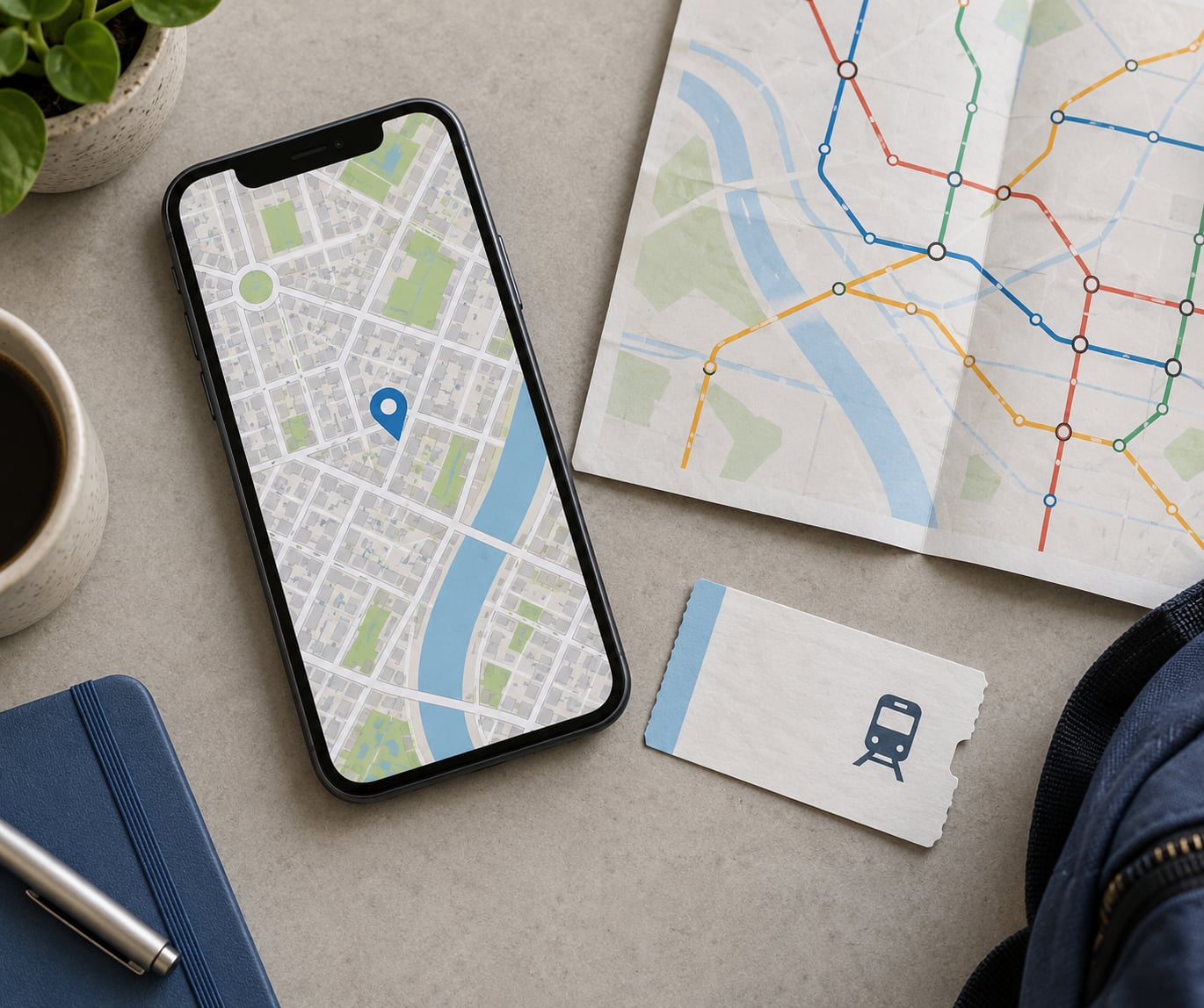
Rail and station markers are dense in Japanese city centres. Every line gets its own colour and symbol, and the map around a major interchange such as Shinjuku or Osaka looks like a knot of lines because that station really is served by that many operators.
Layer availability also varies by region and by what the underlying data supports. Walking and cycling layers, indoor maps and detailed transit layers are strong in the major cities and thinner in smaller towns. Some map layers simply do not exist for a given area, which is a coverage limit rather than a setting you forgot to turn on.
One-way streets and narrow lanes are rendered inconsistently in some residential areas. A street that looks drivable on the map may be a pedestrian-only lane or a road too narrow for the vehicle you are looking at.
How Business Information and Reviews May Differ
Opening hours, phone numbers, holiday closures and service listings in Japan are largely owner-entered through Google Business Profile or supplied by aggregators. In a country where many small shops still keep paper records, listings go stale quietly, and a shop that shows “open” at 7pm may have been closed since noon.
Reviews split by language in a way that skews scores. The Japanese-language review pool is large and often detailed; the English pool in tourist areas is smaller and skewed toward visitors. A place with two hundred Japanese reviews and nine English ones may show a high aggregate score that tells you very little about what an English-speaking visitor will experience.
The restaurant rating gap is worth naming because it causes real disappointment. Japanese diners heavily use Tabelog, which runs a five-point scale with a hard 3.5 threshold that restaurants treat as a badge. Google’s scale is compressed differently and tourist-area listings collect inflated scores. A rough conversion people use is to subtract about a full star from a Google score before reading it against a Tabelog number, and to treat a very high Google rating in Tokyo as a warning sign rather than a recommendation.
Photos deserve the same caution. Guest-uploaded photos can be several years old, and shop exteriors in Japan change often. Check the capture date when you can.
How to Use Google Maps More Effectively in Japan
You can get most of the value out of Google Maps Japan if you stop expecting it to behave like a Western address lookup. A workable routine looks like this.
Search in Japanese, not English
Copy the Japanese name from the official site or booking confirmation and paste it into the search box. Use the plus code or geolocation address if the business gave you one; it resolves to a single point and bypasses address parsing entirely.
Ask your hotel for the geolocation address
Front desks in Japan deal with this constantly and usually have a plus code or map link ready. Ask for it in Japanese as “plus code” or “geolocation address” if the English phrasing gets a blank look. This is the single most reliable fix for a wrong pin.
Save destinations before you travel
Screenshot or save the Japanese address, the map pin, and the nearby landmark. Searching on the street in a language you cannot read is where the block-centroid problem bites hardest. In the Japanese interface, places you save can be organized into labeled lists, which makes a second trip fast.
Confirm the station exit, not the station
Look at the transit directions panel and note the exit number and platform. Photograph it. The route is usually accurate; the last 200 meters inside a station is where people get turned around.
Download offline maps for the regions you will lose signal in
Google Maps can run downloaded maps without a data connection, which is the advice Metafilter threads keep passing along for mountain areas, islands and rural routes. Download before you leave the city, and treat offline walking detail as coarser than what you get with a connection.
Use a second app for the parts Google is weak at
Japanese travelers rely on Navitime and Yahoo! Maps daily, and both have English modes with varying depth. They exist because train routing, local place data and walking directions have historically been developed for Japanese-language users. Running Google Maps and one of those side by side costs nothing and covers the gap. Add Tabelog before choosing a restaurant.
Verify anything time-sensitive locally
For opening hours, holiday closures, last train times and fare changes, check the operator or business’s own page. A map listing is a lead, not a confirmation.
Frequently Asked Questions
Why does Google Maps use block and house numbers in Japan?
Japan has almost no street names, so the national addressing system identifies a location by prefecture, city or ward, district, chome block subdivision, ban block number and go building number. Without a street to anchor to, the only defensible point for a map marker is the centre of the block, so pins land mid-block instead of at a specific door. Buildings are also numbered by construction order, which tells you nothing about which side the entrance faces.
Can I use Google Maps in English when traveling in Japan?
Yes, and most visitors do. The app works fully in English for searching, routing, transit directions and saving places, and major stations and attractions carry English labels and signage. The friction is in search terms: place names are indexed in Japanese first, so pasting the Japanese name from your booking confirmation gives far better results than typing an English description of the same place.
Why are Japanese transit directions so detailed?
Rail operators in Japan publish structured timetable, platform and carriage assignment feeds that Google integrates, so a route can include the line, departure time, platform number, transfer walking time inside the station, and which carriage to board for your exit. Delay and service alert notices come from the same feeds. Walking directions do not get the same treatment, which is why the final minutes of a route are the weakest part.
How do I find the correct station exit in Google Maps?
Open the transit directions panel and read the exit number listed for your arrival station, usually shown as Exit A2, B1 or similar, along with the platform. Save or photograph that detail before you travel, and match it against the station’s exit signage on arrival. If the route does not show an exit number, switch the arrival or walking step to the station’s official page for exit maps.
Should I rely on Google Maps for opening hours and business details in Japan?
Treat it as a lead rather than a confirmation. Hours, phone numbers and holiday closures usually come from owner-entered listings or aggregators, and small Japanese shops often update them late or not at all. Check anything time-sensitive, including last train times, on the operator or business’s own page before you set out based on a map listing.
Can Google Maps work offline in Japan?
Yes, if you download the map for the region before you lose signal. Downloaded maps keep search, routing and your saved places working without a data connection, which matters on mountain trails, islands and rural routes. Walking and cycling detail is coarser offline, and you will not get live transit delays, so download the area and check the last known timetable before you leave the city.
Conclusion
The reason Google Maps works differently in Japan is not a defect or a temporary outage. It is a block-based address system with no street names feeding one half of the app, and high-quality rail operator data feeding the other, which is why train directions land and walking pins wander.
Start with three habits: paste the Japanese place name instead of describing it in English, ask for a plus code or geolocation address whenever the pin looks wrong, and note the exit number and platform before you get on the train. Verify hours, closures and fares on the business or operator’s own site, and keep one Japanese app alongside Google Maps for the routes it handles better.
Last reviewed: October 2026. Details on app interfaces and map layers change with app updates, so check your version before following a step.